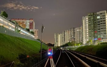
Our Survey Services and Solutions
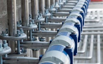
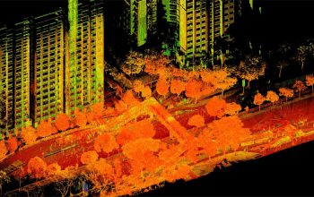
We provide professional survey services from topographical, cadastral, engineering, dimension control, measured drawing and hydrographical to laser scanning, GIS, tunnel geometry, verticality checking and volume computation etc.
If you have any enquiry about PSC or how we can support your business, please contact us.
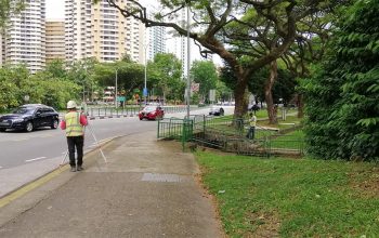
Topographical Survey
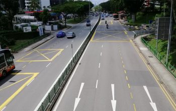
Mapping of land features for development, planning and land use purposes.
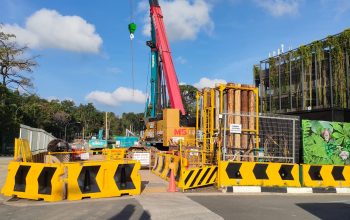
read more→Engineering Survey
Engineering survey for construction of buildings, roads, bridges, tunnels, drainage and sewerage lines etc.
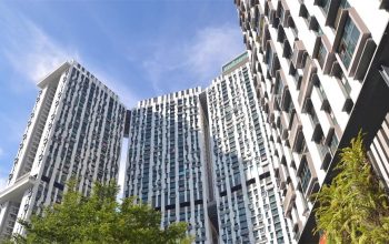
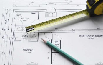
read more→Measured Survey
Measured survey for buildings and structures, produce plans, elevations or sections. Compute GFA or NLA.
read more→Geometry Survey
GIS data collection and conversion for LTA GIS data hub, NParks and HDB GIS.
read more→Misc Survey
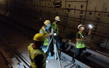
Hydrographical Survey, tunnel geometry survey, flatness and levelness checking, verticality checking and volume computation etc.
read more→

